|
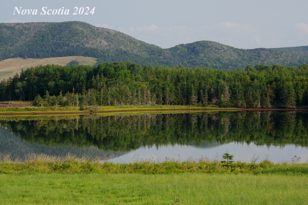
Welcome to D&D Travel's Nova Scotia 2024 - a photo essay on a beautiful province of the Canadian Maritimes! There are three pages of images that we hope will inspire you to visit this Canadian gem! Please enjoy! - Dennis & Donna images © 2024, Dennis A. Hubbs, D&D Travel Services, LLC |
 |
 |
 |
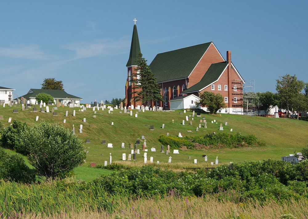
 Many of the following images, unless noted otherwise, were photographed along NS 19, the Cabot Trail and NS 7 while making a (long!) loop from Port Hastings at the southern tip of Cape Breton, through Ingonish, Baddeck and south to Nova Scotia proper. |
 |
 |
 |
 |
 |
 |
 |
 |
 |
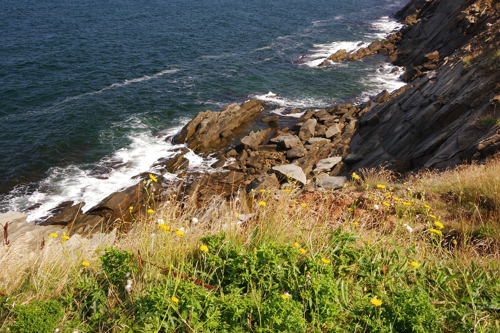 |
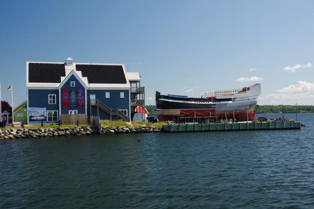
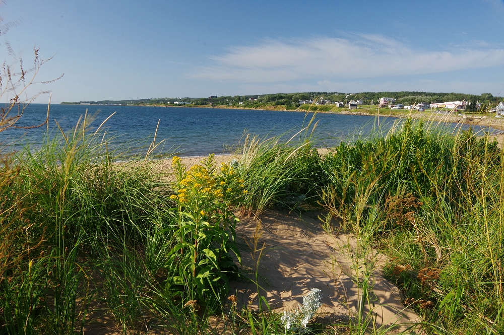
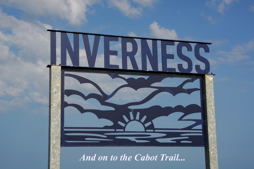
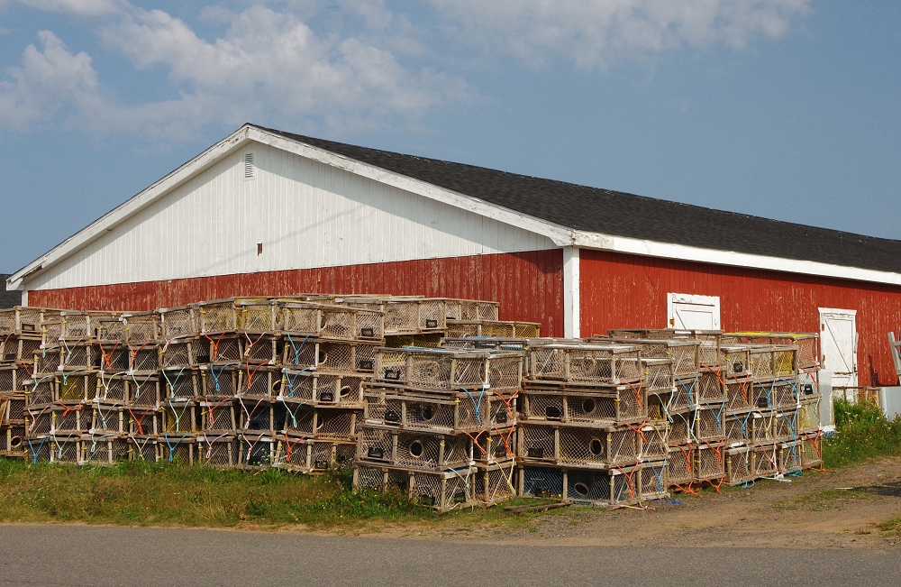
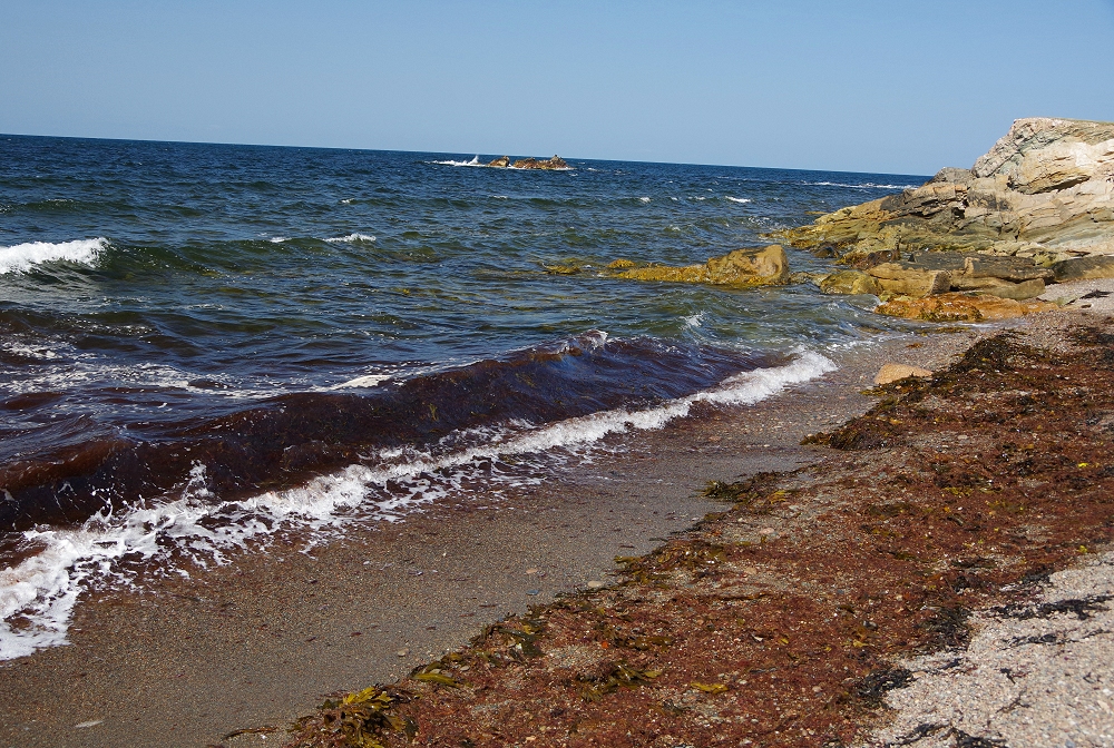
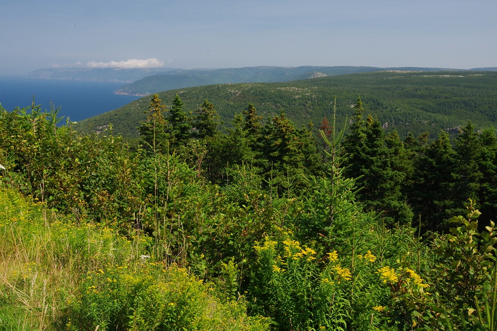
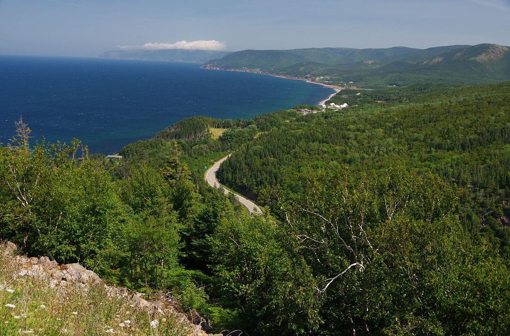
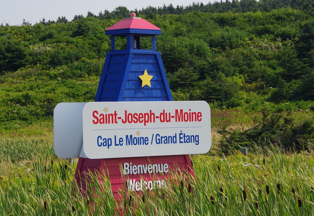 Along the Cabot Trail... |
 |
 |
 |
 |
 |
 |
 |
 |
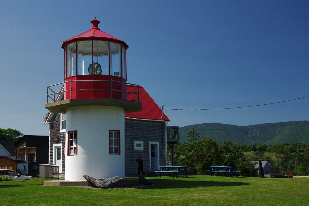 |
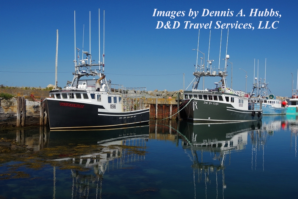
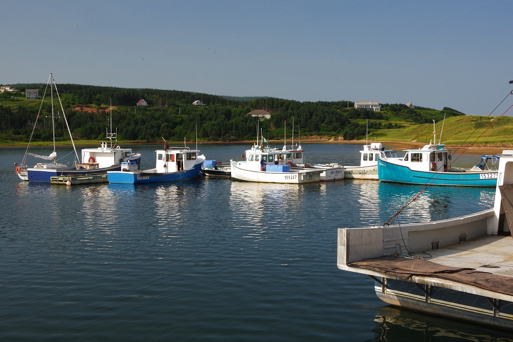
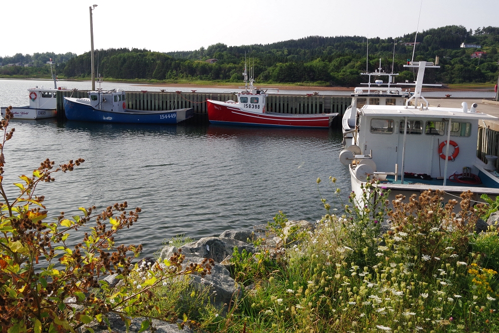
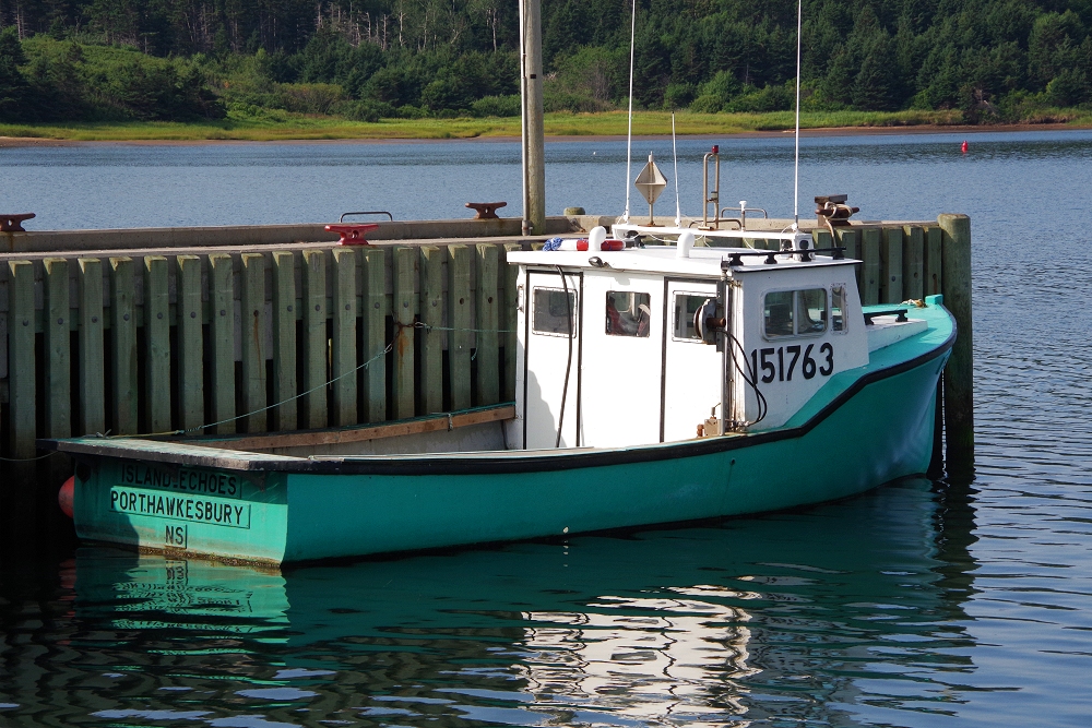
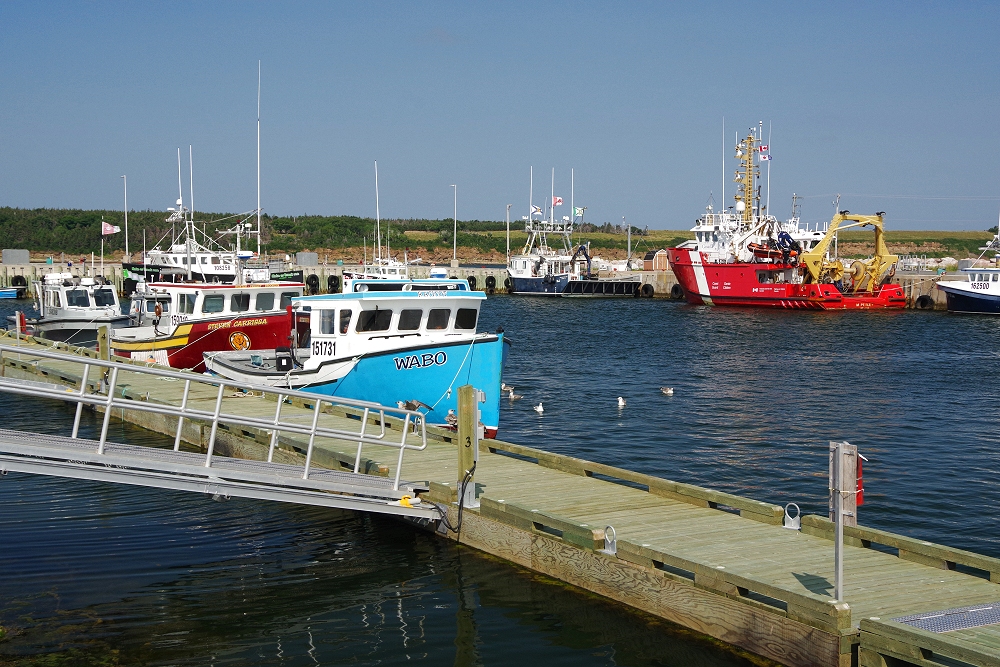
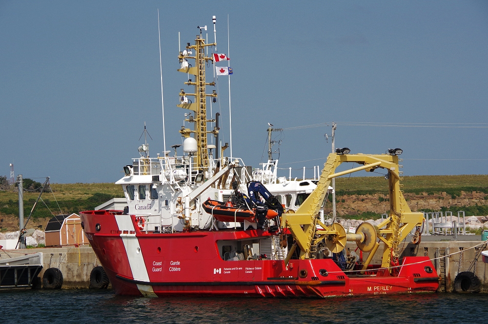
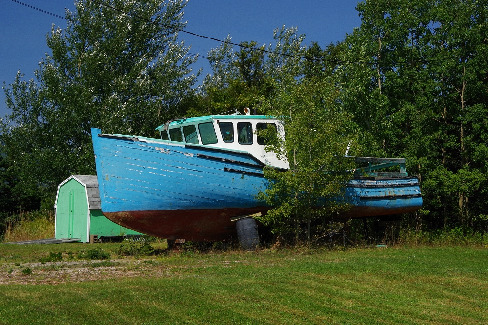
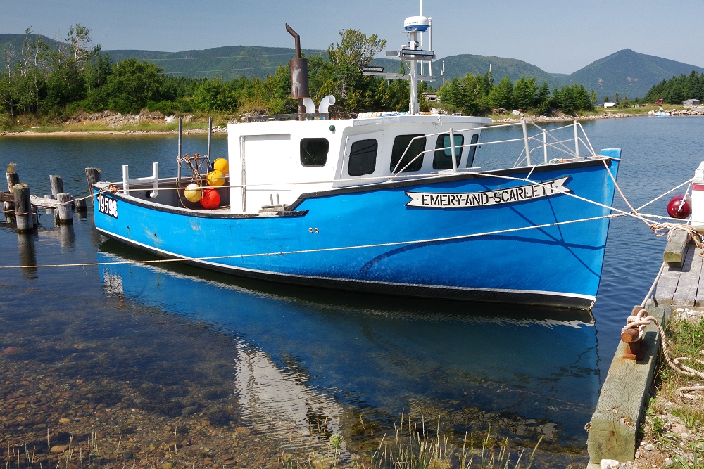
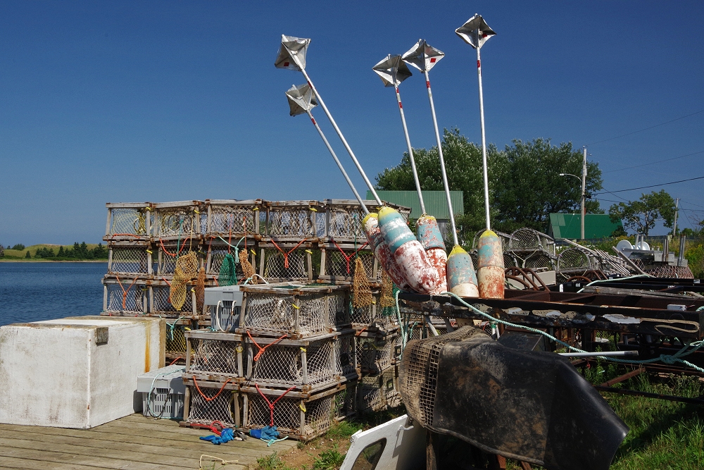
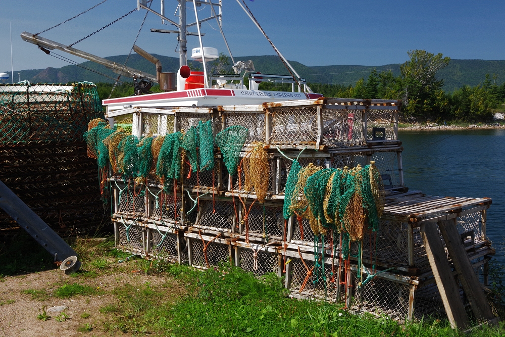
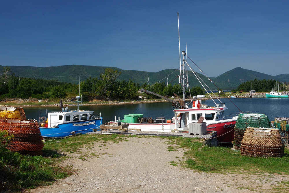 More colorful harbors just off the main road... |
 |
 |
 |
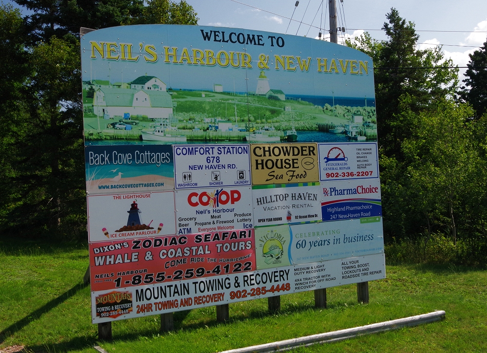 |
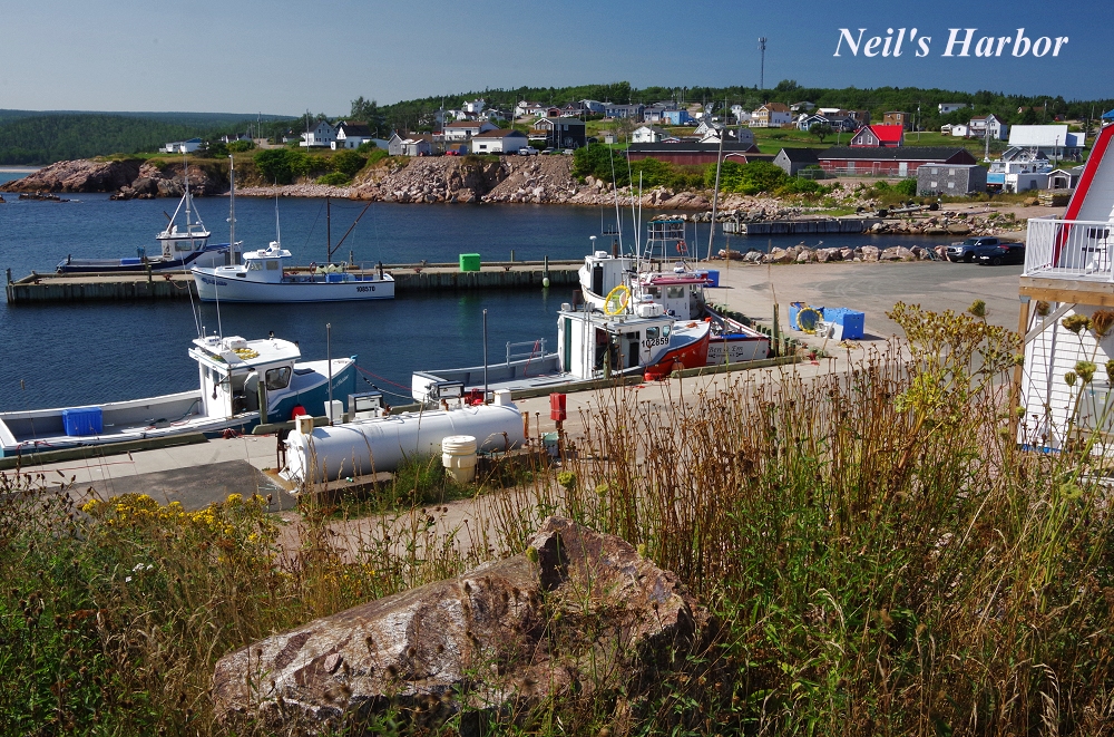
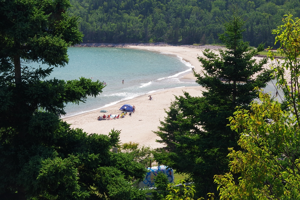 Neil's Harbor and beach - along Rocky Bay, east side of the Cabot Trail |
 |
 |
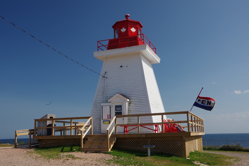 |
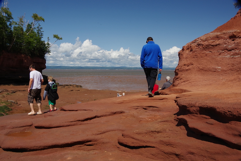
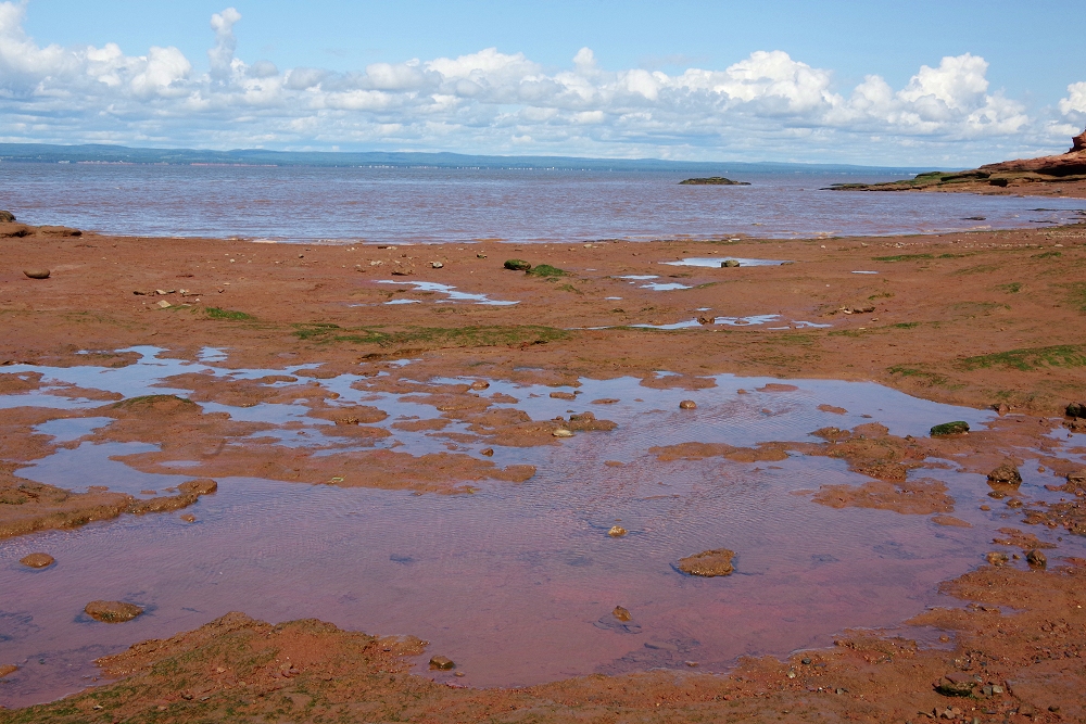
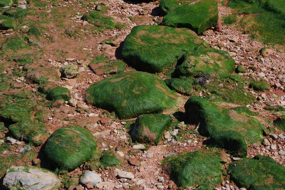
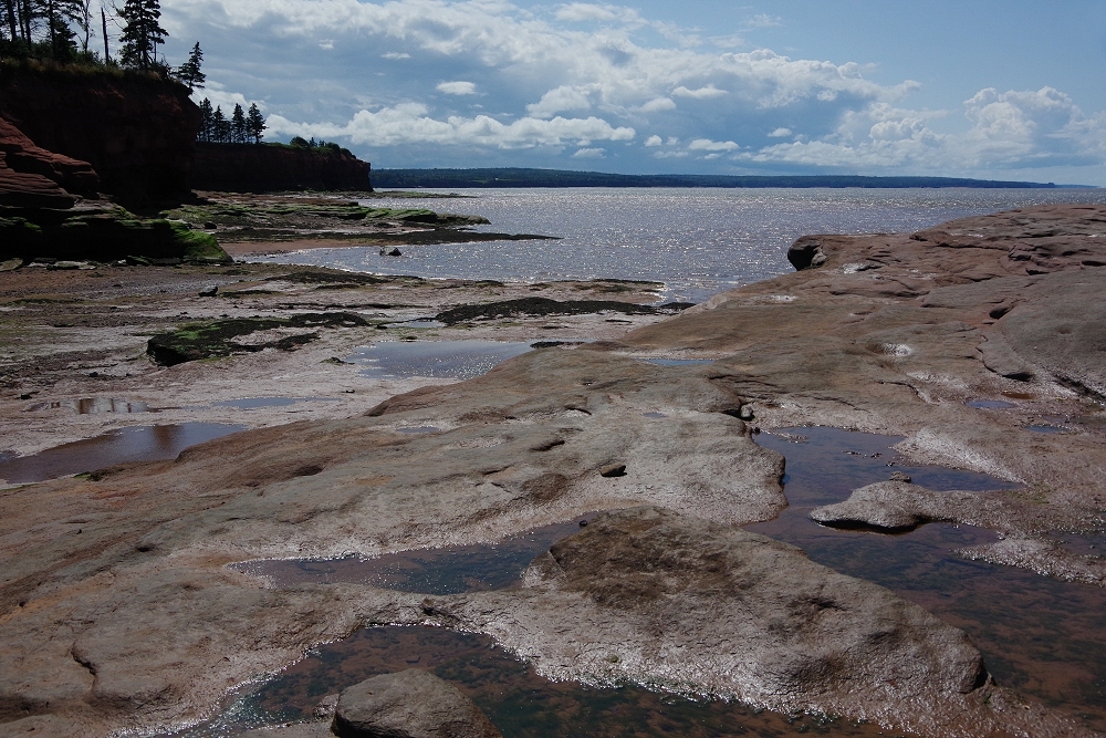
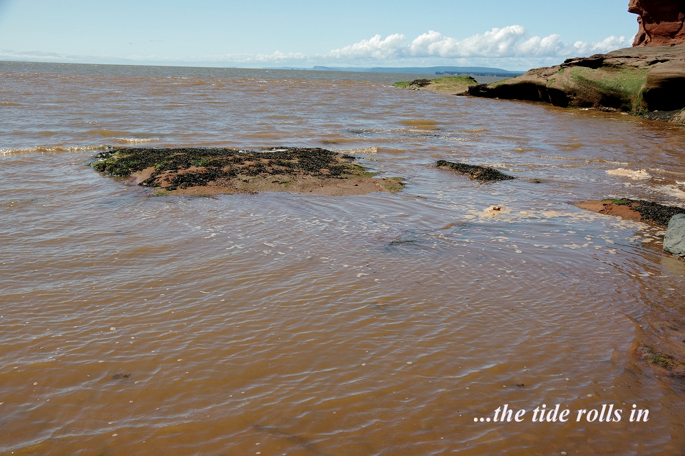
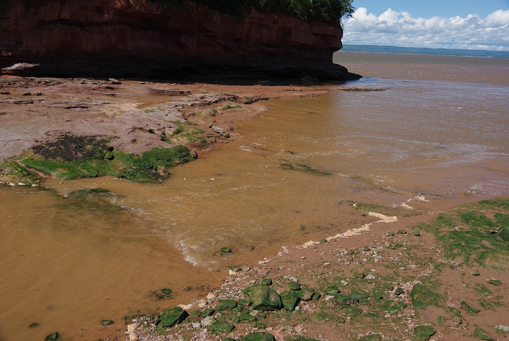
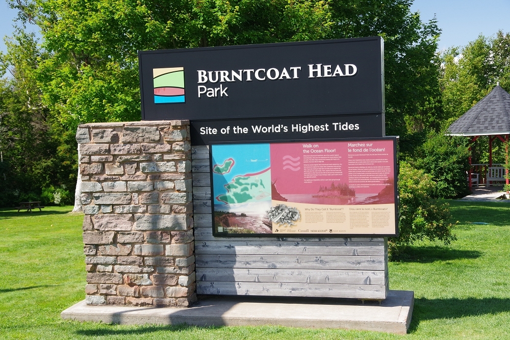 A detour to a portion of the Bay of Fundy, with its famous reversing tides - the highest in the world! |
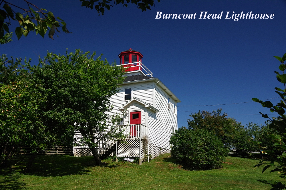 |
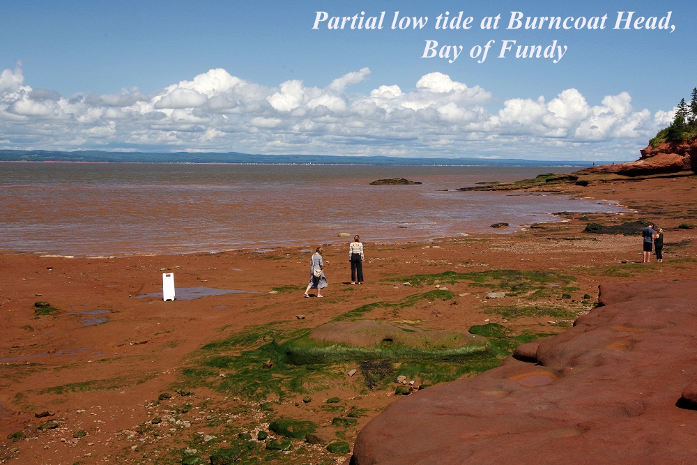 Burncoat Head is near the town of Noel, along NS Route 215, east of Truro and Cape Breton... |
 |
 |
 |
 |
 |
 |
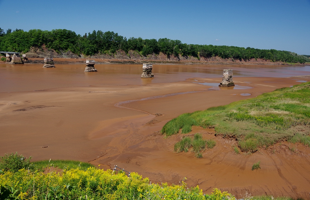
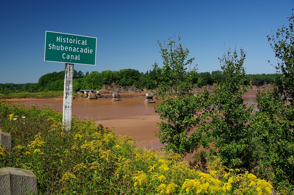 The canal was completed in 1861 - and closed in 1871! |
 |
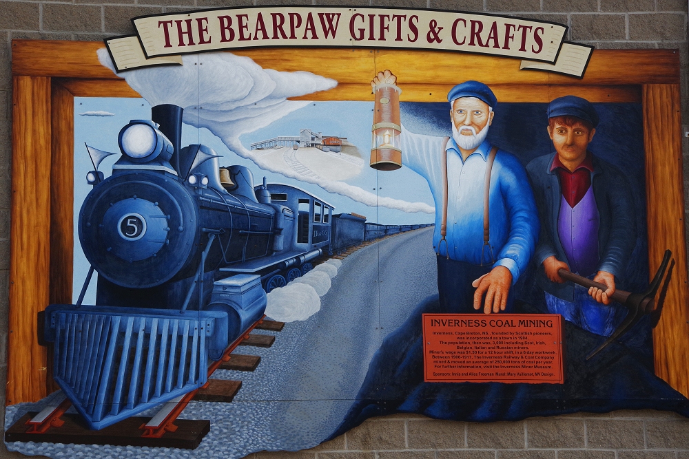
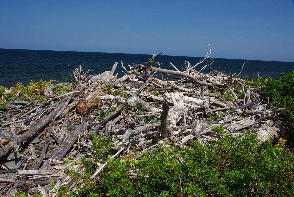
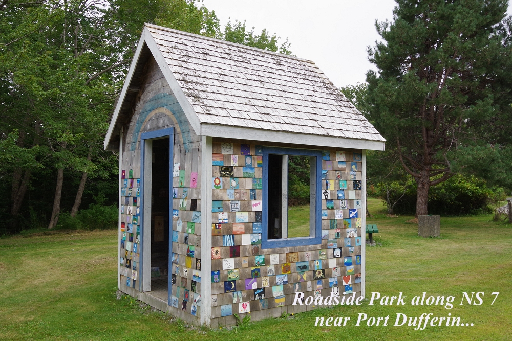
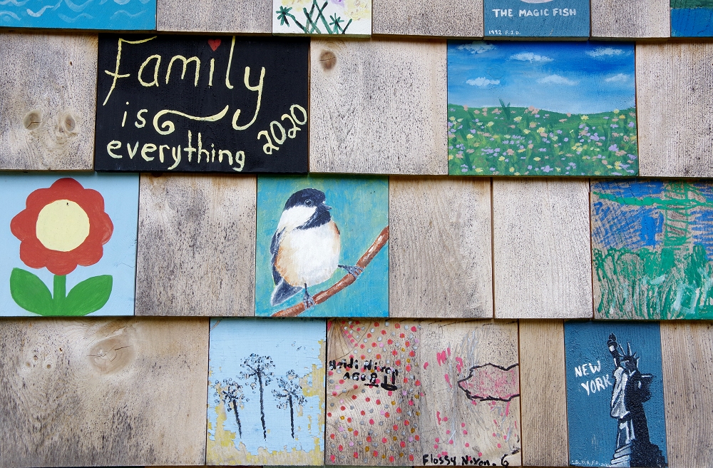
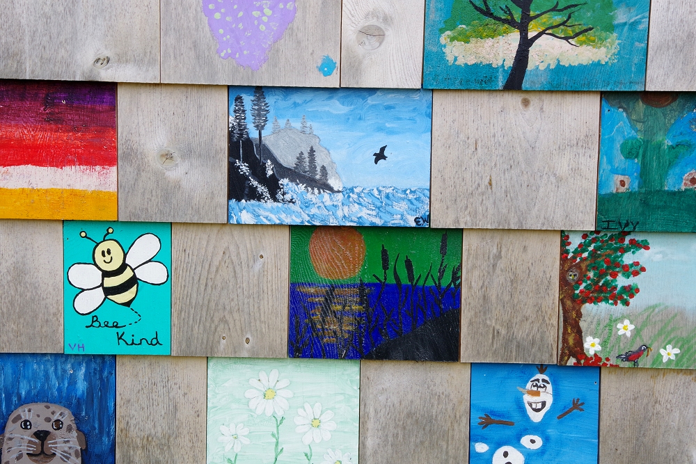
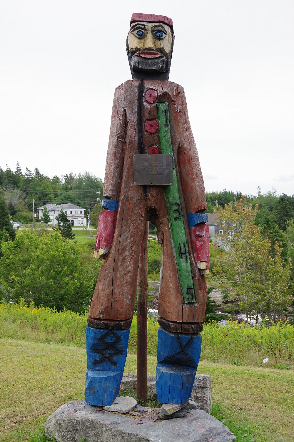
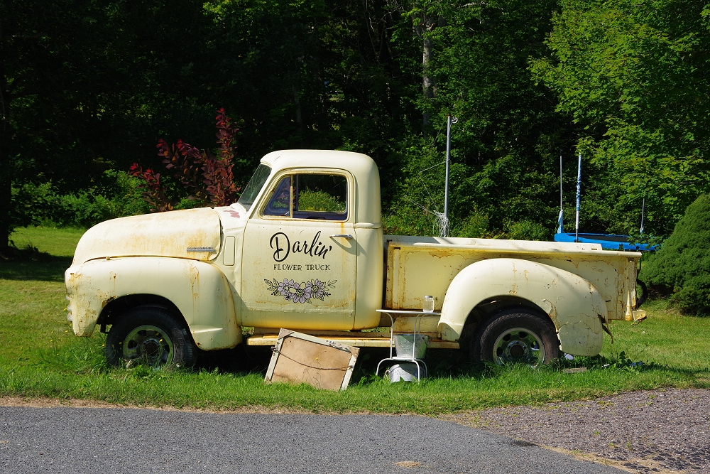 Never know what you'll find along the back roads! |
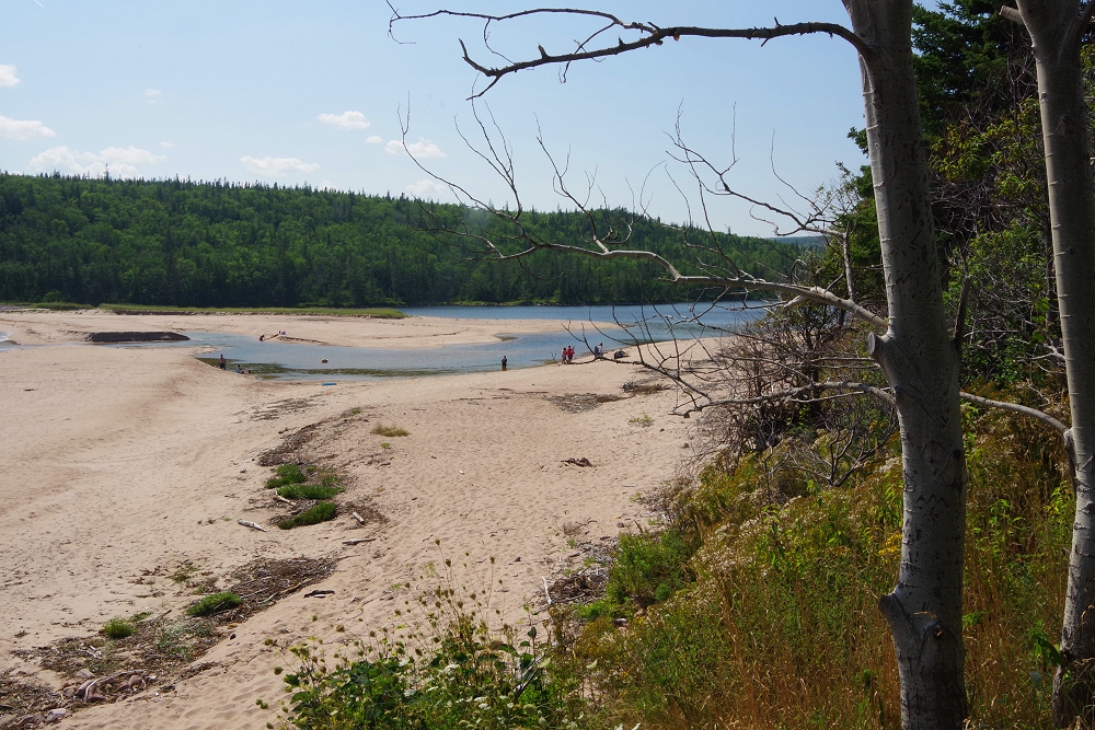
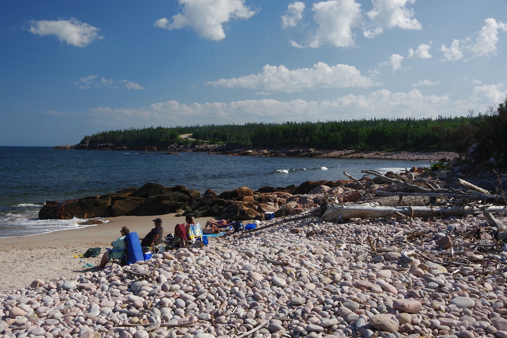
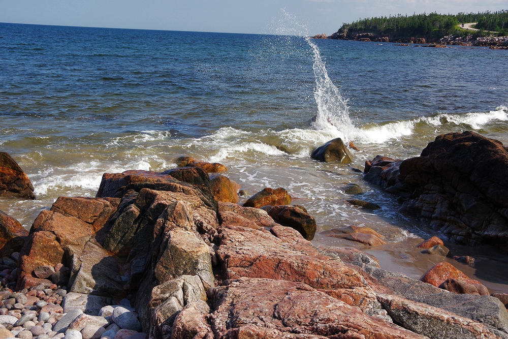
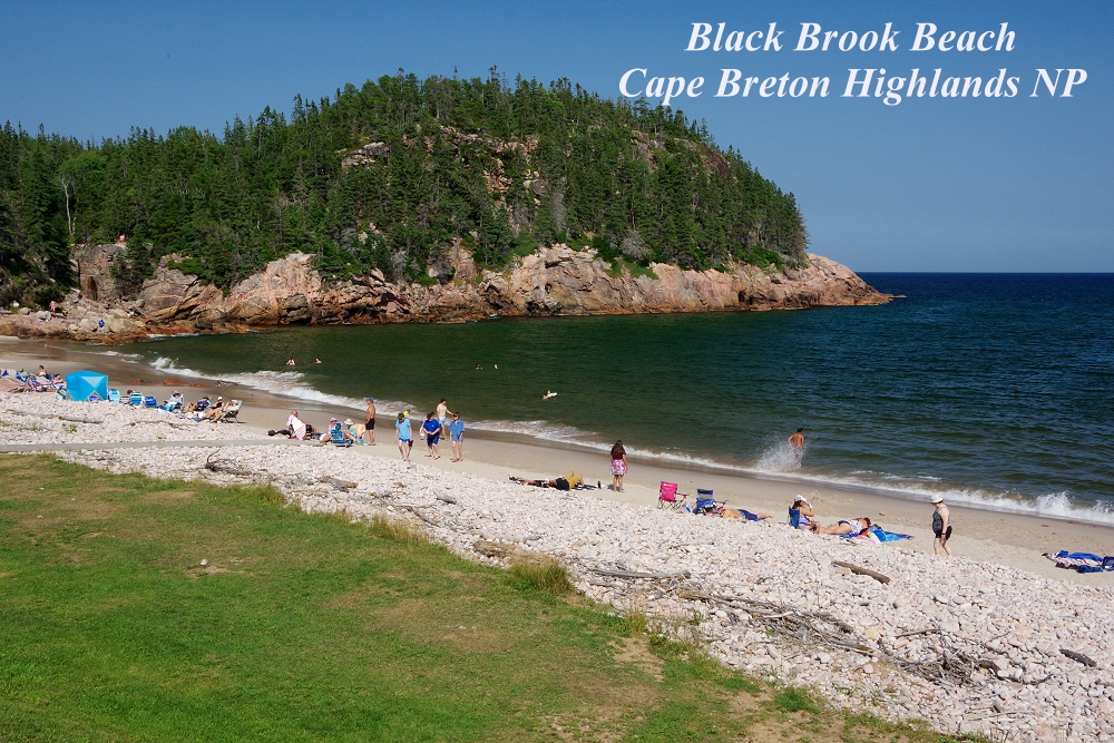 Black Brook Beach is located close to Ingonish, on the Cabot Trail |
 |
 |
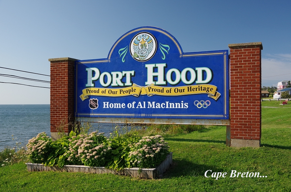
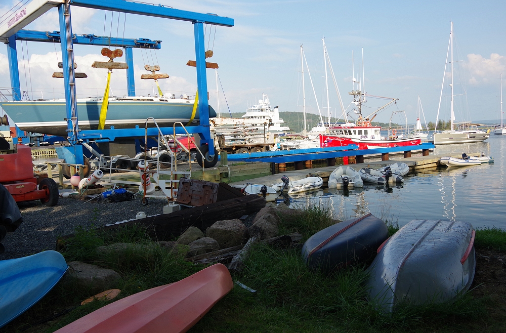
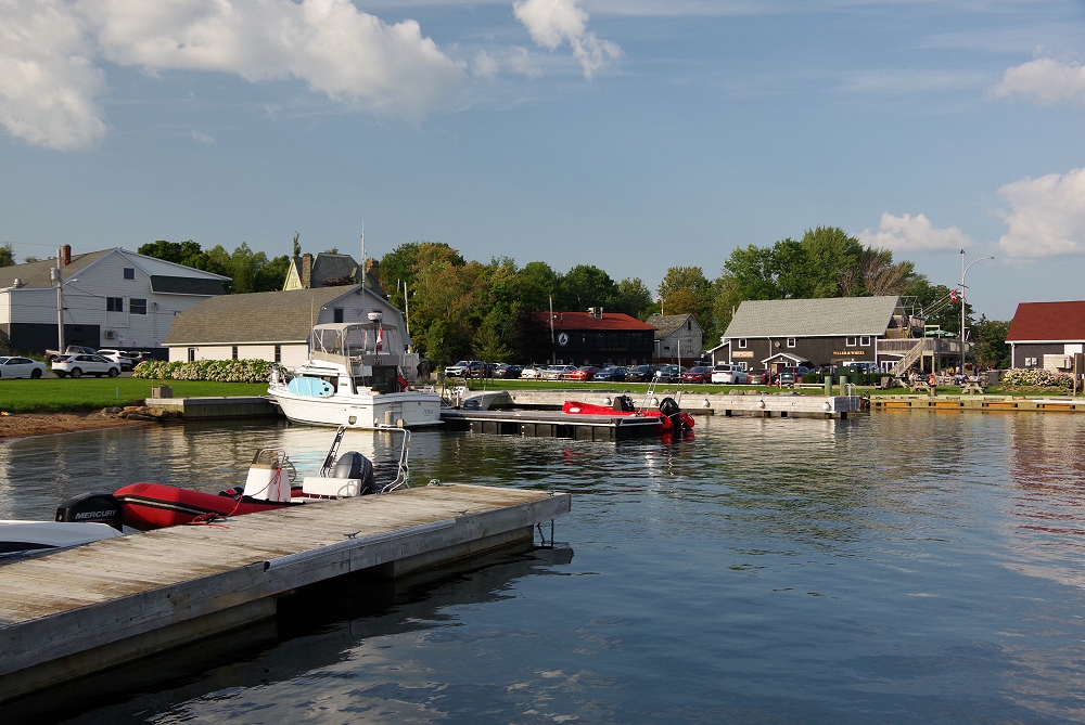
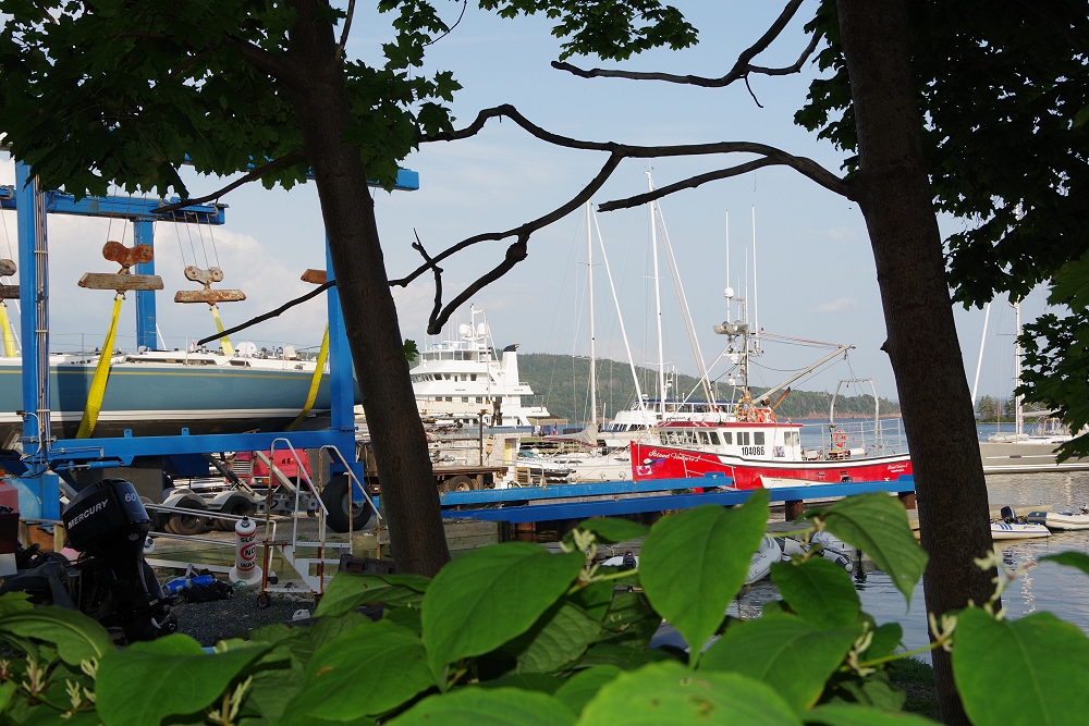
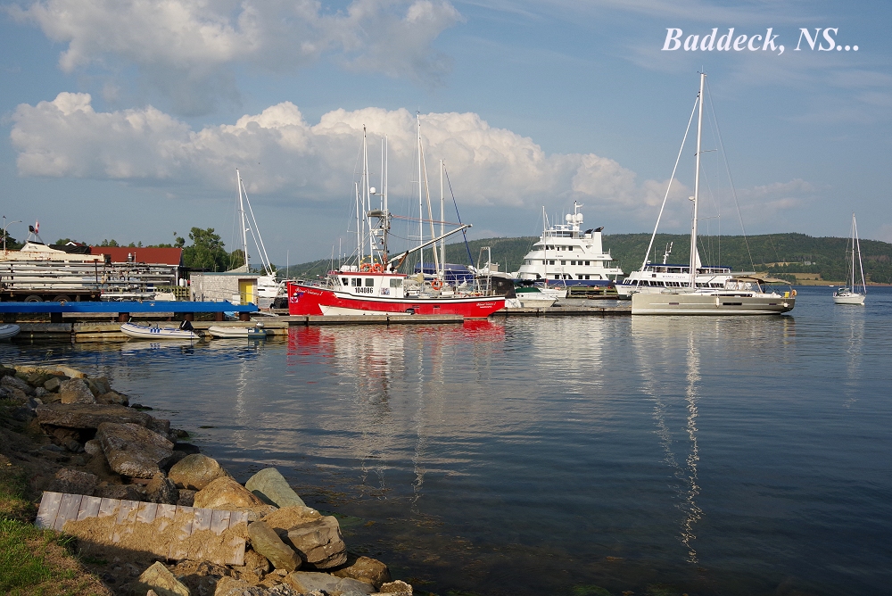 Baddeck lies along Canada 105 - part of the Trans-Canada Highway - on the eastern coast of Cape Breton. |
 |
 |
 |
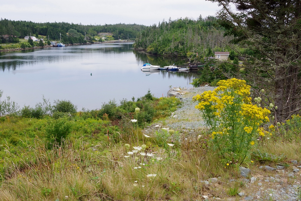
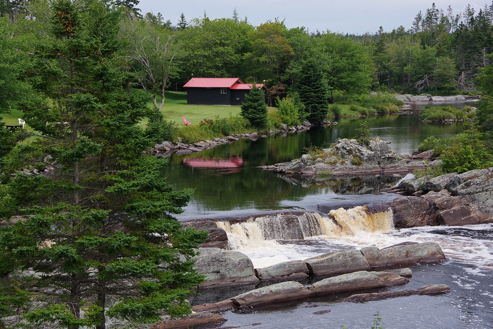
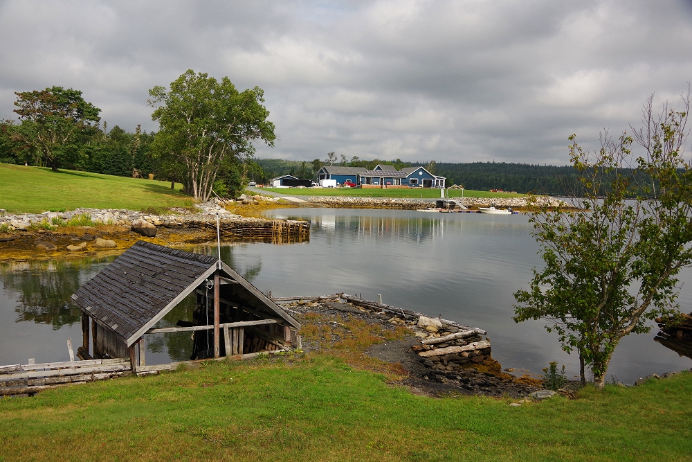
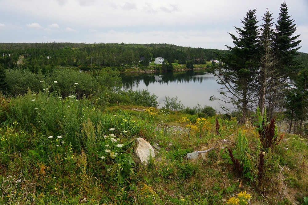 Above and below: Traveling along NS Route 7, heading south toward Sherbrooke |
 |
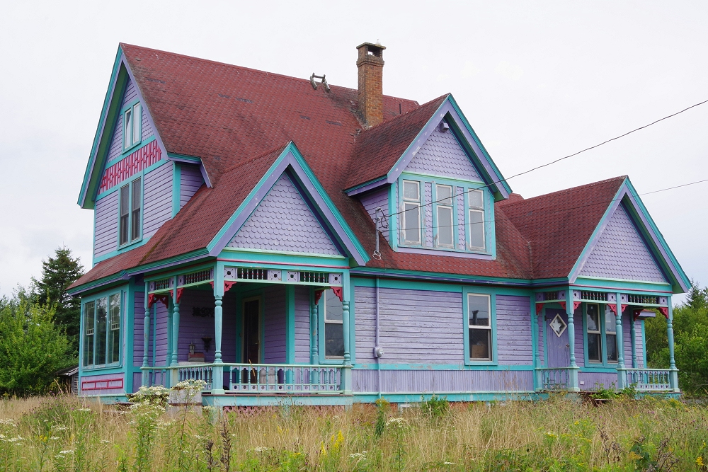 Colorful house in the middle of nowhere!, adjacent to the above two images... |
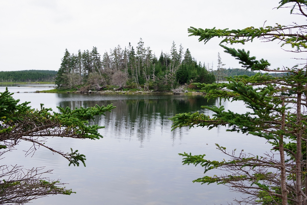 |
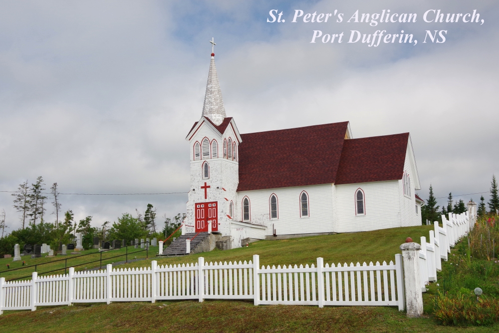
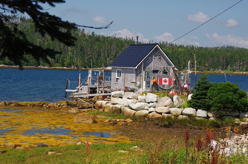
 Above two: Also along NS 7... |
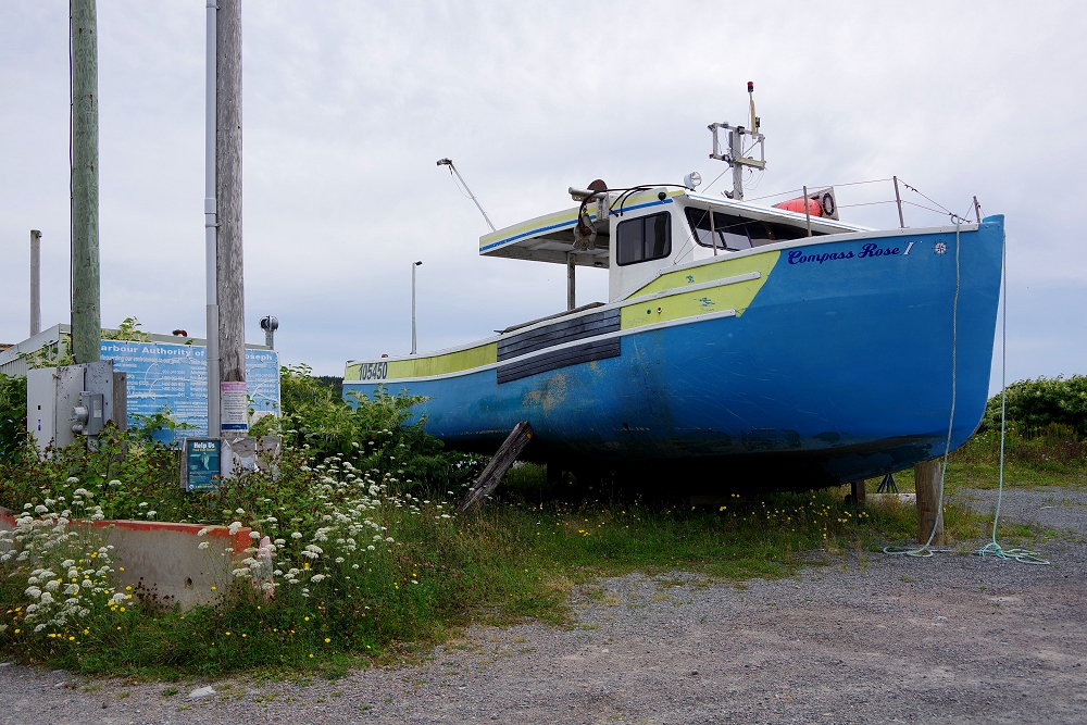
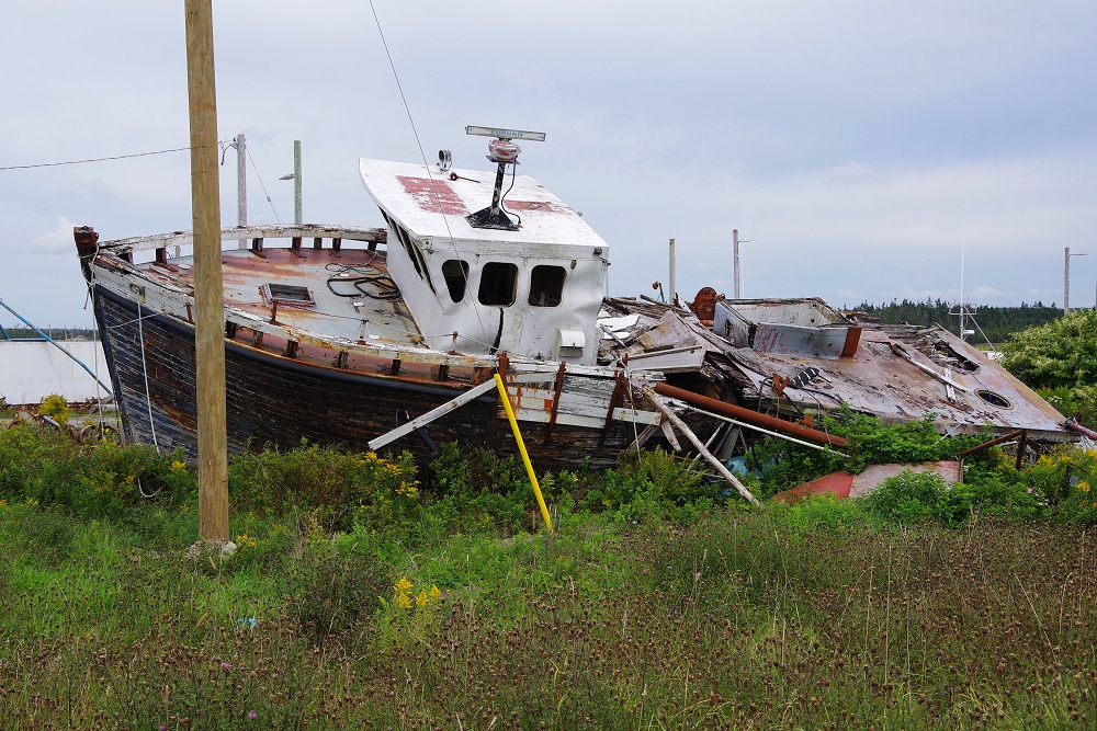
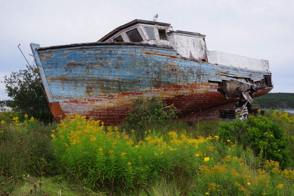
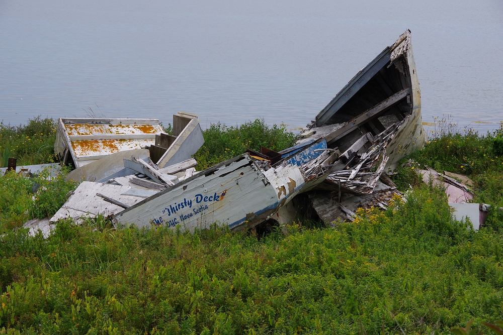
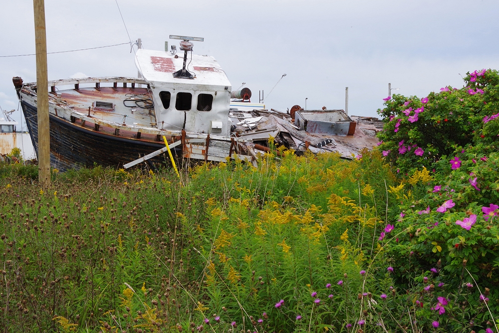
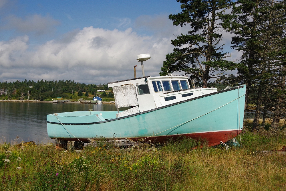
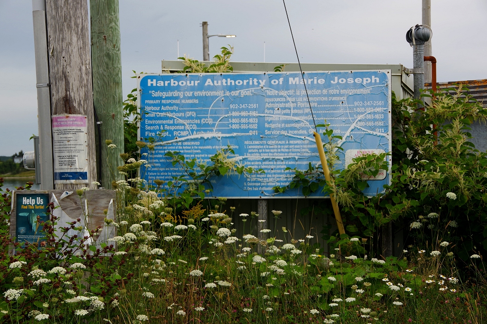 Several damaged/destroyed boats line the shoreline at Marie Joseph Harbor... |
 |
 |
 |
 |
 |
 Sheet Harbor, Nova Scotia |
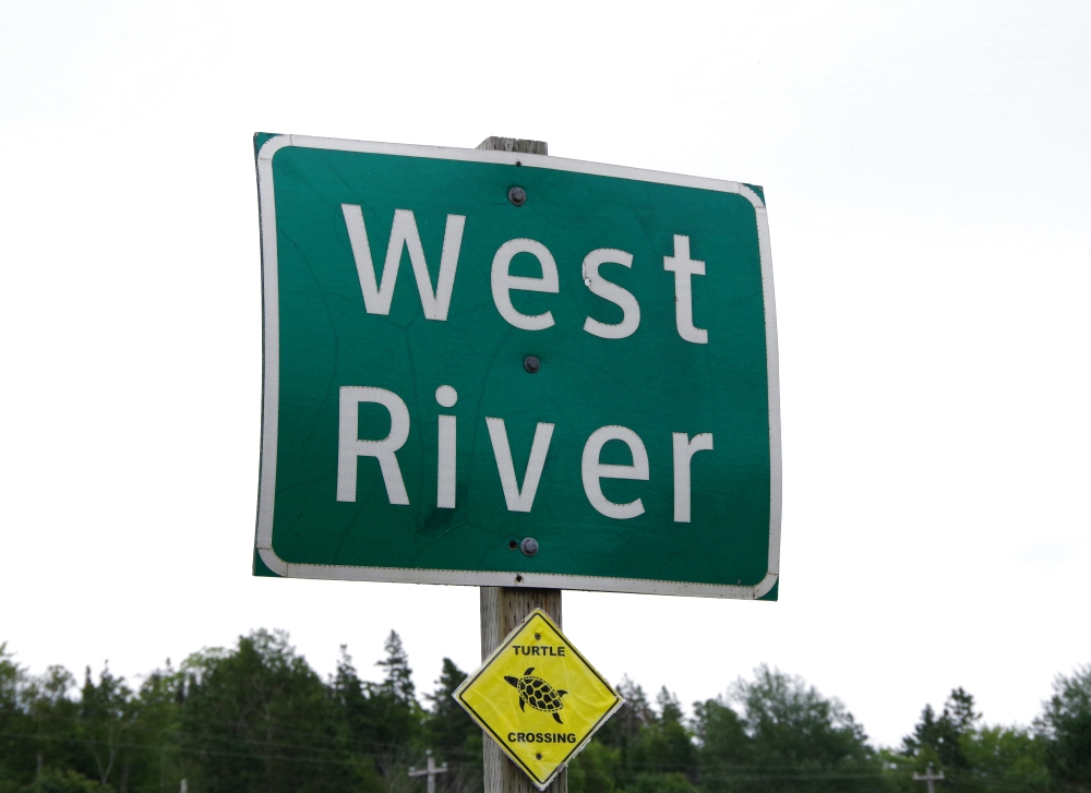
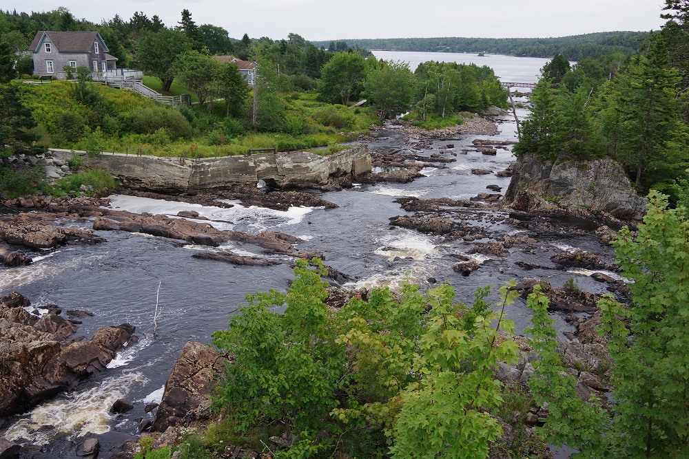 The West River, as it tumbles toward the North Atlantic... |
 |
 |
 |
 |
 |
 |
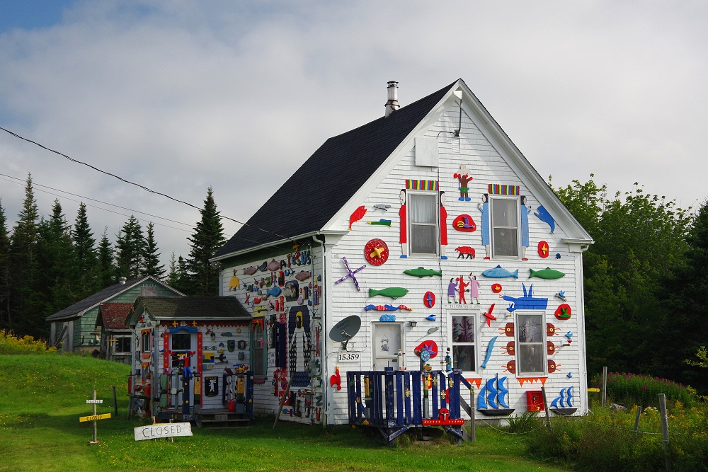 Another oddity along Route 7 - the Barry Colpitts Folk Art House in East Ship Harbor! |
 Above and below: Ship Harbor area... |
 |